
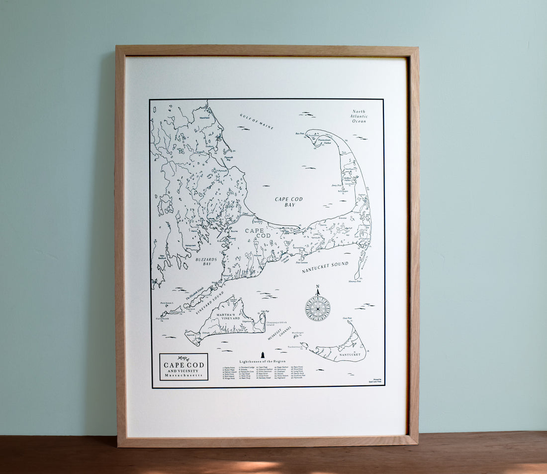
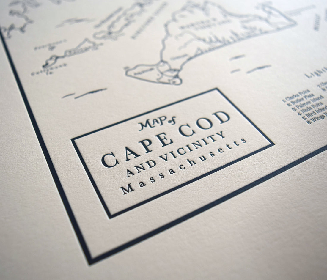


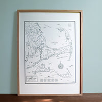
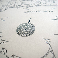
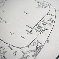
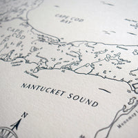
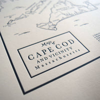
Cape Cod and Islands Map
Paper size: 18 x 24"
Color: Dark blue ink
Sold unframed or framed (as pictured)
"The Cape" is a peninsula which makes up the easternmost portion of Massachusetts. In the 17th century, the designation Cape Cod applied only to the tip of the peninsula, essentially present-day Provincetown.
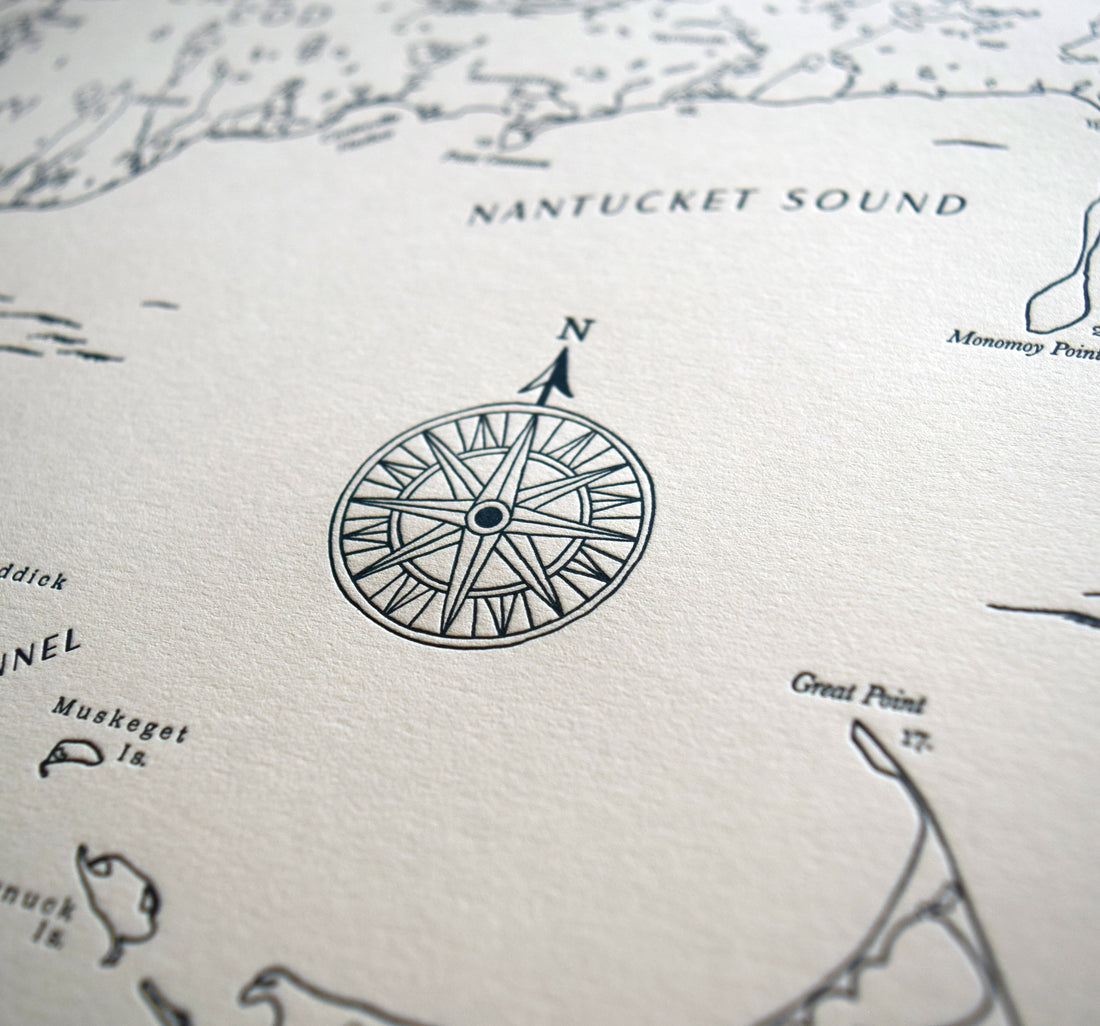
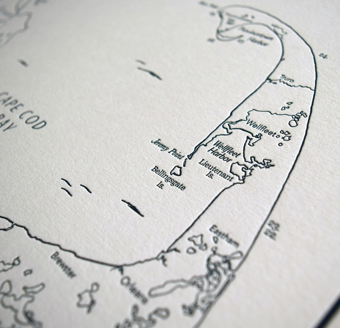
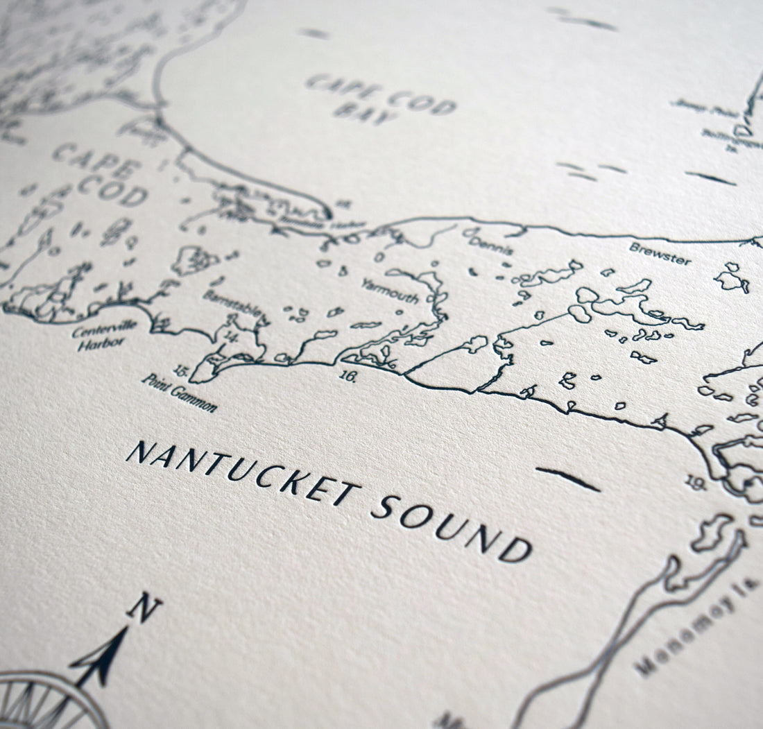
This map is an original hand drawn map that encompasses all of the Cape Cod peninsula as well as Nantucket and Martha's Vineyard.
Orders ship flat within 2 business days of purchase via USPS or UPS Ground. Contact us if you need your order expedited or have any questions. info@quaillanepress.com
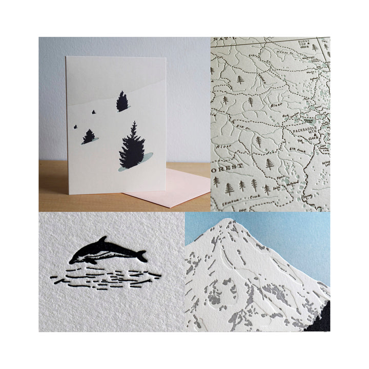
All of our products are printed on heavyweight (acid-free) cotton paper with archival inks.
More about Quail Lane Press
We print our products in house on our letterpress machines in the beautiful state of Oregon.
We try to keep our printing and packaging processes as eco-friendly as possible. Our shop is connected to a solar array and battery backup for power, we use low VOC inks and solvents, and we use as little plastic as possible to package and ship all of our prints and cards.
Quail Lane Press is a woman-owned, black-owned business.