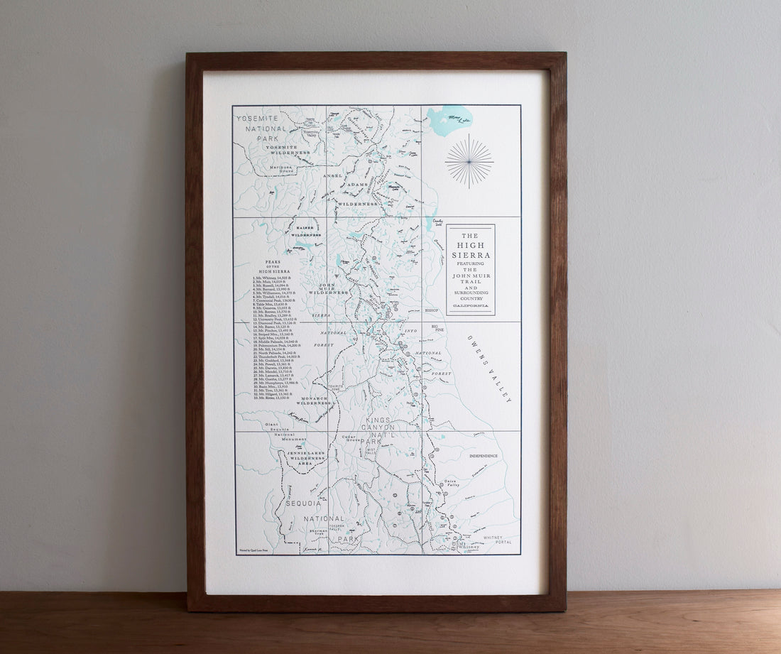
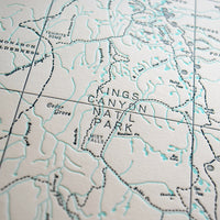
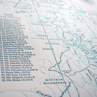
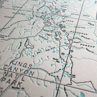
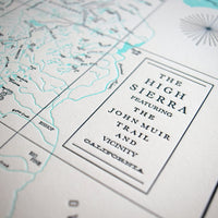
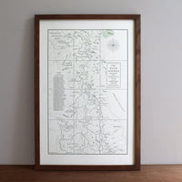

John Muir Trail and the High Sierra Map
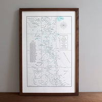
Paper size: 12 x 18"
Color:
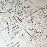
Sage Green (water)/ Black (text & outlines)
or
Turquoise (water)/ Dark Blue (text & outlines)
Sold unframed
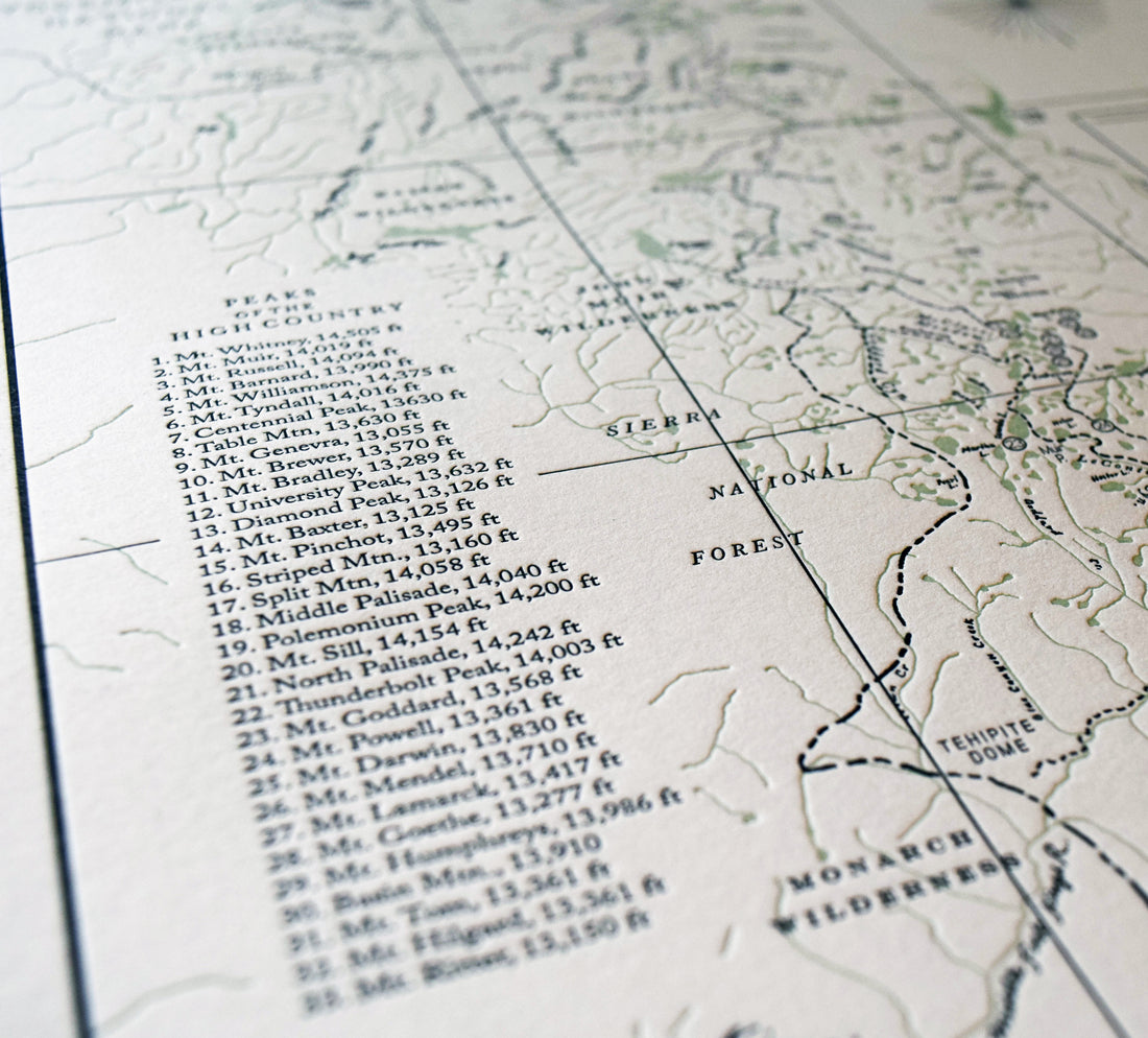
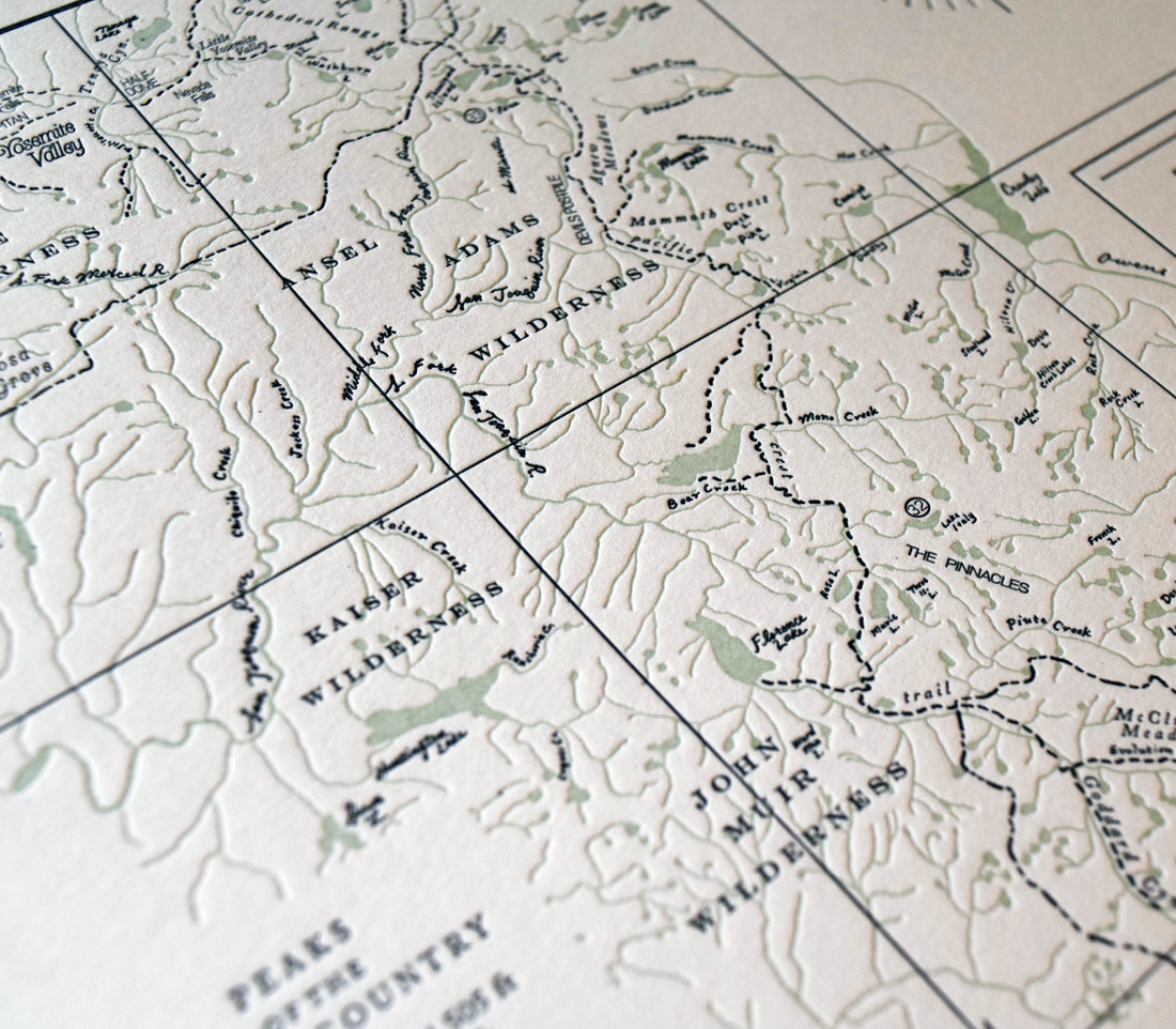
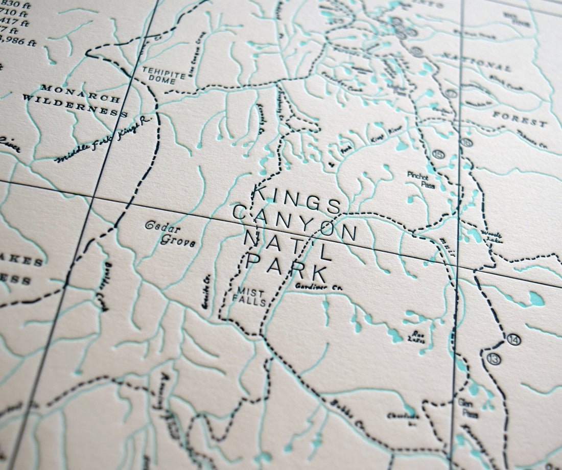
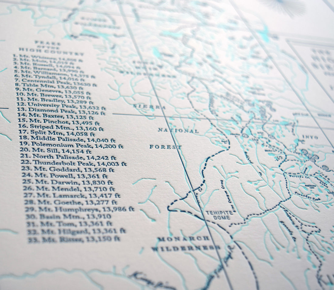
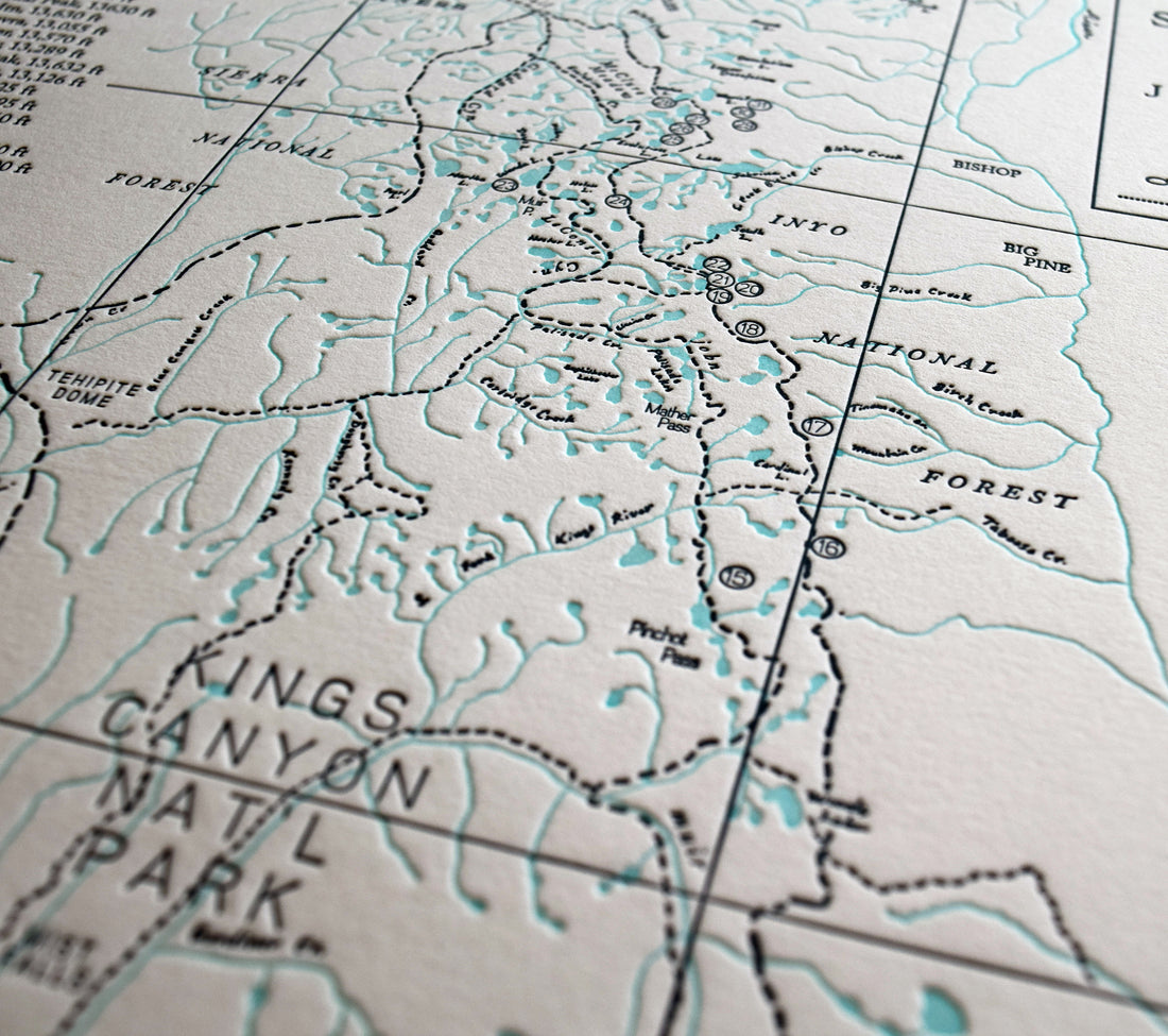
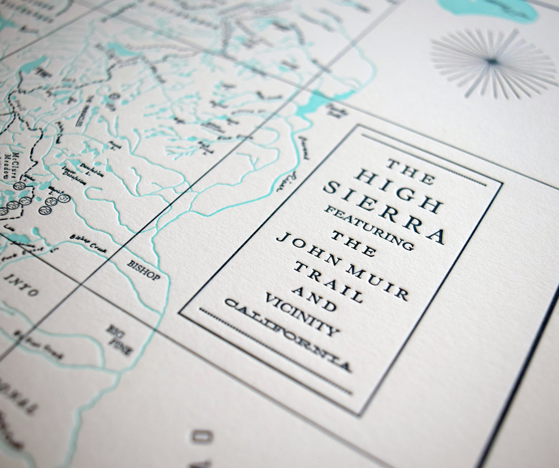
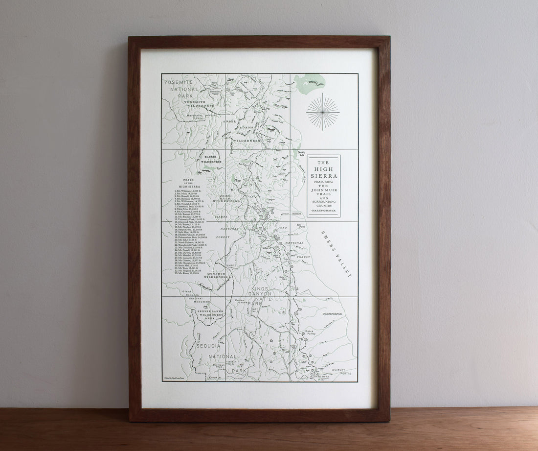
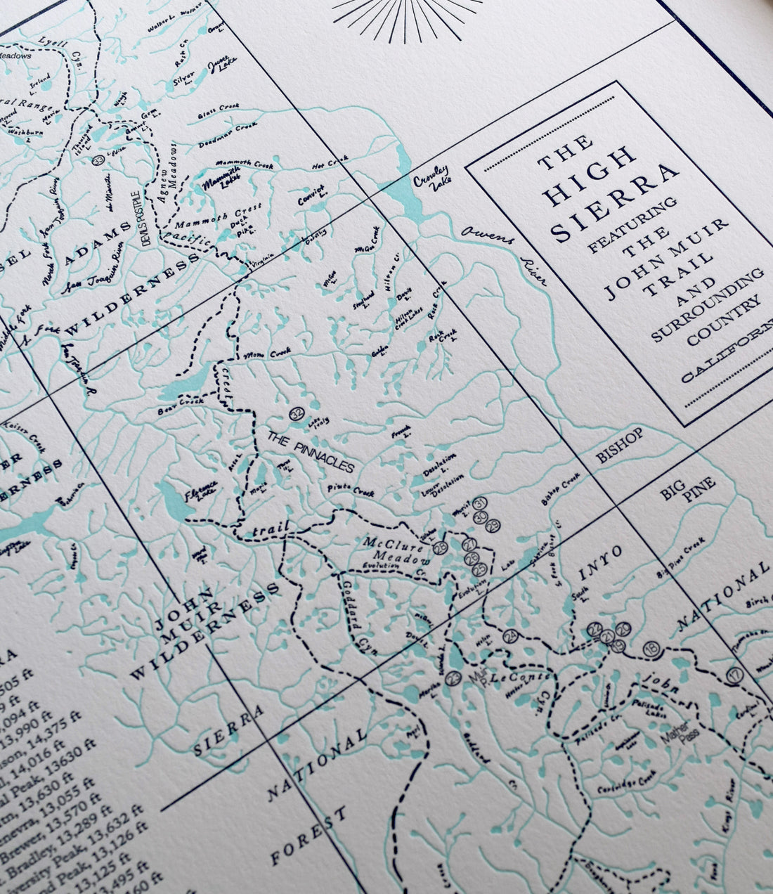
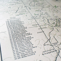
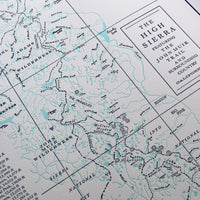
The High Sierra of the Sierra Nevada mountain range is well known for its granite peaks, gnarled timberline conifers and clear alpine lakes. This map of the high country revolves around the famed John Muir Trail (JMT), a 210 mile trail along the Pacific Crest Trail that spans the distance of Yosemite Valley in the north down to the precipice of Mount Whitney (the tallest peak in the contiguous US). We here (me and the hubs) at Quail Lane Press dabble in mountaineering (when we're not making prints!) so made sure to highlight all the 13ers and 14ers in the vicinity of the trail. It also features areas of Yosemite, and Sequoia and Kings Canyon National Parks as well as tons of streams, rivers, canyons and passes.
Hand drawn and printed on our letterpress. This is the perfect companion to our Yosemite Map, printed in the same ink colors and paper. Printed on beautiful pearl white, 100% cotton archival paper.
Orders ship flat within 2 business days of purchase via USPS or UPS Ground. Contact us if you need your order expedited or have any questions. info@quaillanepress.com
All of our products are printed on heavyweight (acid-free) cotton paper with archival inks.
More about Quail Lane Press
We print our products in house on our letterpress machines in the beautiful state of Oregon.
We try to keep our printing and packaging processes as eco-friendly as possible. Our shop is connected to a solar array and battery backup for power, we use low VOC inks and solvents, and we use as little plastic as possible to package and ship all of our prints and cards.
Quail Lane Press is a woman-owned, black-owned business.

