


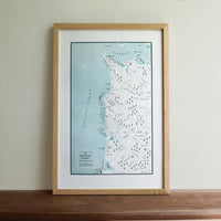
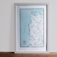
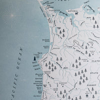
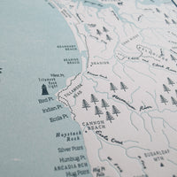
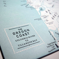
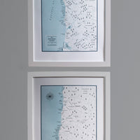
Oregon Coast Map, Columbia River to Tillamook Bay Map
Paper size: 12 x 18"
Color: Light Blue (water)/ Dark blue (text & outlines)
The Oregon coast really captured our hearts so, of course, we had to map it! This covers the coastline from the mouth of the Columbia River to Tillamook Bay. We hope to eventually chart the entire coast. So stay tuned.
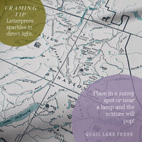
This map is hand drawn and then printed on our antique letterpress.
Orders ship flat within 2 business days of purchase via USPS or UPS Ground. Contact us if you need your order expedited or have any questions. info@quaillanepress.com
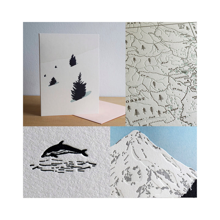
All of our products are printed on heavyweight (acid-free) cotton paper with archival inks.
More about Quail Lane Press
We print our products in house on our letterpress machines in the beautiful state of Oregon.
We try to keep our printing and packaging processes as eco-friendly as possible. Our shop is connected to a solar array and battery backup for power, we use low VOC inks and solvents, and we use as little plastic as possible to package and ship all of our prints and cards.
Quail Lane Press is a woman-owned, black-owned business.